Flood Risks Threaten Thousands in Nepal Amid Climate Change
A new study reveals that nearly 300,000 people in Nepal are at risk of climate-induced flooding as glacial lakes grow dangerous.
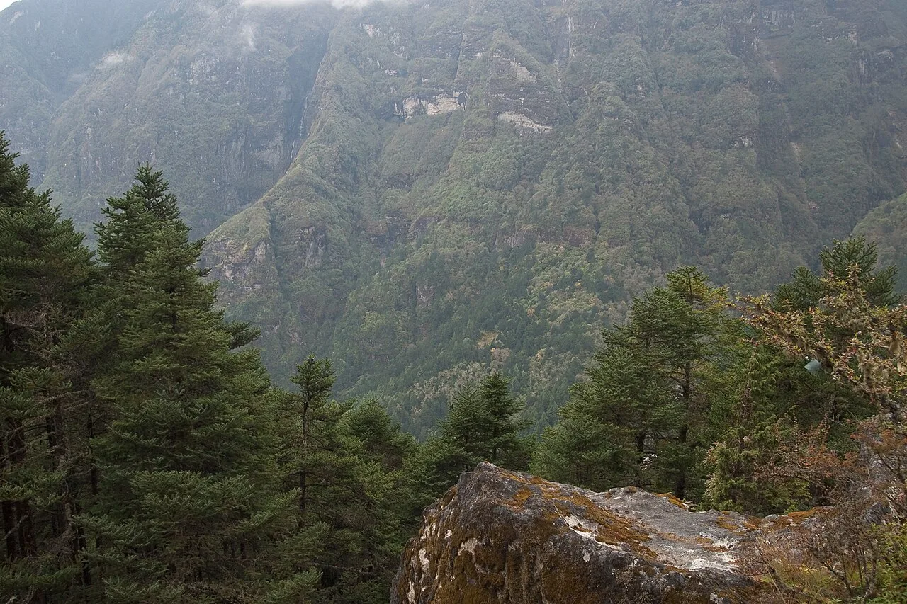
A recent analysis has highlighted the alarming flood risk faced by nearly 294,000 individuals residing in vulnerable areas of Nepal. Researchers have been investigating the implications of climate change on the country's mountainous terrain, particularly focusing on the glaciers that are rapidly melting and forming perilous lakes.
Understanding the Flood Risk
In August, a catastrophic event unfolded when a massive rock and ice avalanche descended the Langtang Lirung peak, resulting in devastating floods downstream. Reports indicate that at least 1,455 people lost their lives, with over 5,000 still unaccounted for, demonstrating the dire consequences posed by these natural disasters.
Scott Watson, a senior research fellow at the University of Leeds, emphasizes that development activities near river channels have escalated due to increased tourism and trade routes. “There’s a lot of development happening very close to the river channel in these hazardous zones,” he noted.
Downstream Dangers
The growing number of glacial lakes, created by melting ice and rock, presents a significant danger. Approximately 108,000 residents live downstream of these lakes, risking exposure to sudden flooding should the ice barriers fail. The researchers utilized advanced mapping techniques to assess areas within 50 kilometers of these glacial lakes and river headwaters. They anticipated flood scenarios with water rising by 50 meters or 164 feet.
While this might seem extreme, actual events have exceeded these predictions, such as the floods that traveled about 120 miles with water surges estimated at 330 feet in some locations, according to Dipesh Chapagain, a senior scientist with the United Nations University Institute for Environment and Human Security.
Planning for the Future
The findings of this research, published in the journal Scientific Reports, aim to raise awareness about flood risks in Nepal's steep terrains. The analysis serves as a critical stepping stone toward more detailed assessments of flood hazards across the region.
Unlike in the United States, Nepal lacks extensive flood hazard mapping, making it imperative for future models to prioritize at-risk areas. Watson explains, “We need to focus on areas that are currently exposed to floods, as well as where new developments are being planned.”
After weeks of searching for missing individuals from the recent floods, efforts are now shifting towards providing temporary housing for thousands displaced. Though a long-term resettlement strategy is not yet in place, the priority is clear—new structures must be built in safer locations, with robust flood management systems.
Before It's Too Late
The study also highlights the rapid increase in construction and development in Nepal, particularly in high-risk areas. Between 2016 and 2023, a remarkable 46% rise in constructed areas close to riverbanks was noted. This trend poses serious questions about future urban planning and disaster preparedness.
“As communities develop, essential services soon follow, increasing the population density close to flood-prone areas,” Watson explained. The urgent need now is to reassess infrastructure projects and establish early-warning systems to mitigate flood risks in identified hotspots.
As climate change continues to alter Nepal's landscape, many glacial lakes are forming with potentially catastrophic consequences. The lesson is clear: proactive measures are required to safeguard the lives of those at risk and ensure sustainable development that considers these environmental challenges.
Filed under Science